PRECISION AERIAL INSPECTIONS
SAFER OPERATIONS
ZERO COMPROMISES
Redefining INSPECTION ServiceS for the Next Generation
Construction Progress Tracking & Earthworks
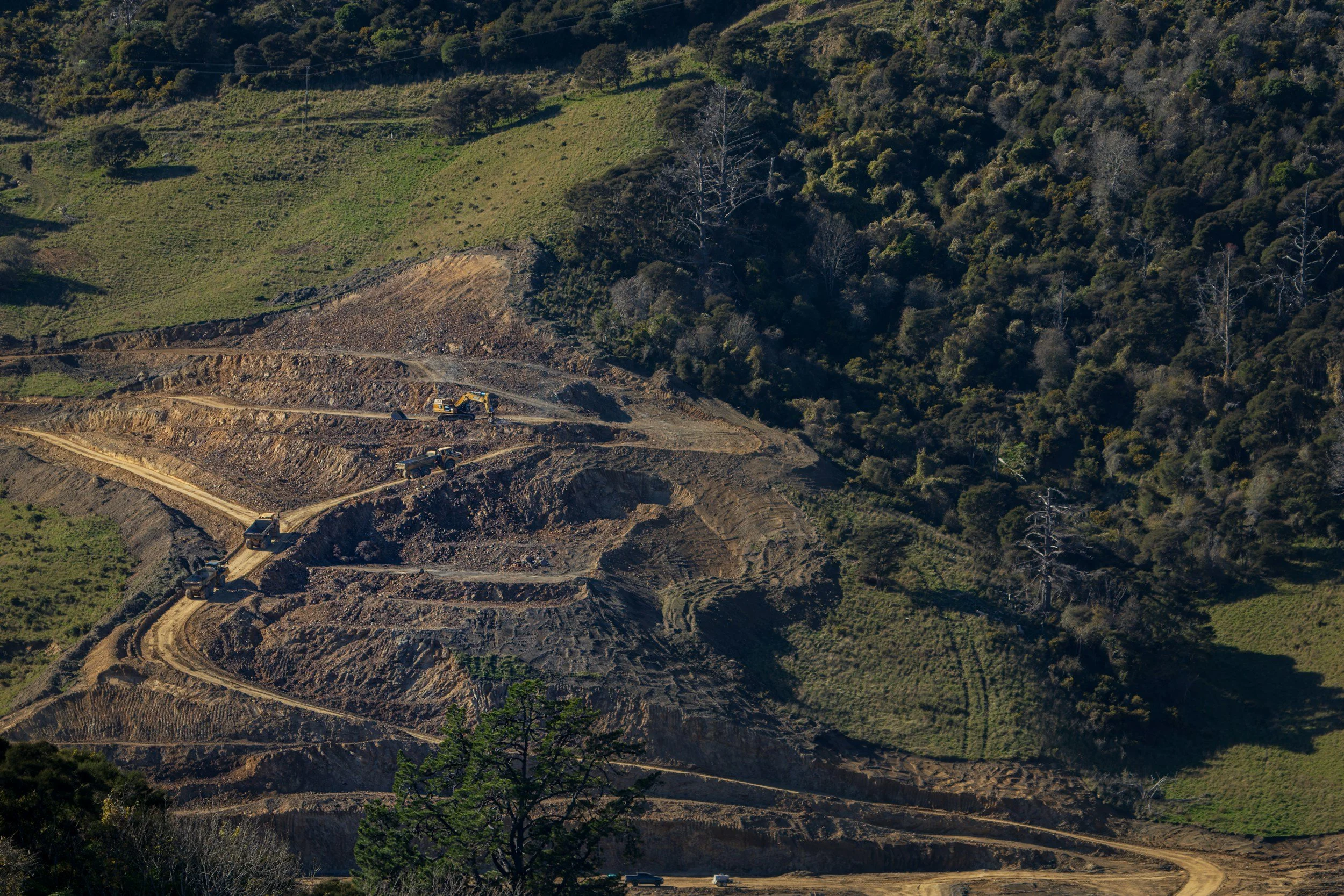
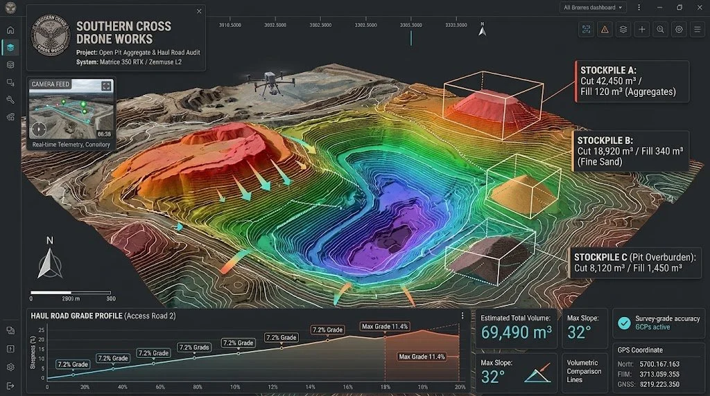
Stockpile Volume Calculations: Rapid photogrammetry to provide tonnage and cubic-meter calculations for material inventory.
Volumetric Earthworks & Cut/Fill: 3D topographic terrain mapping and point cloud surveys to calculate cut-and-fill dirt volumes against original engineering design surfaces.
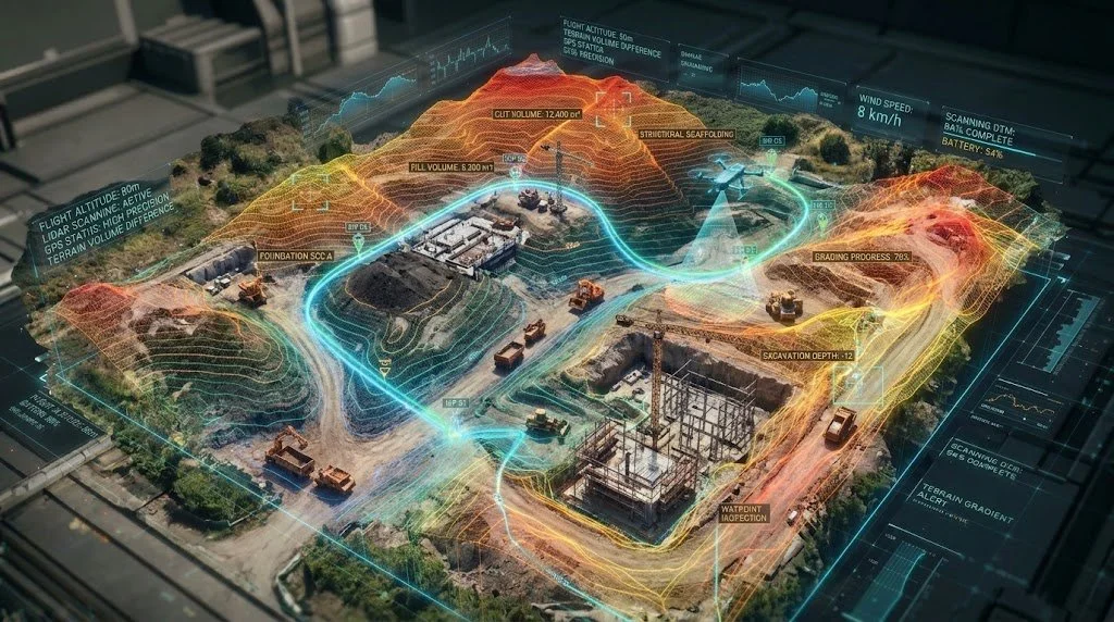
Aggregates & Mining Surveys
Progress Monitoring: High-resolution orthomosaic mapping and aerial progression photos to track construction milestones, contractor staging, and job site safety compliance over time.
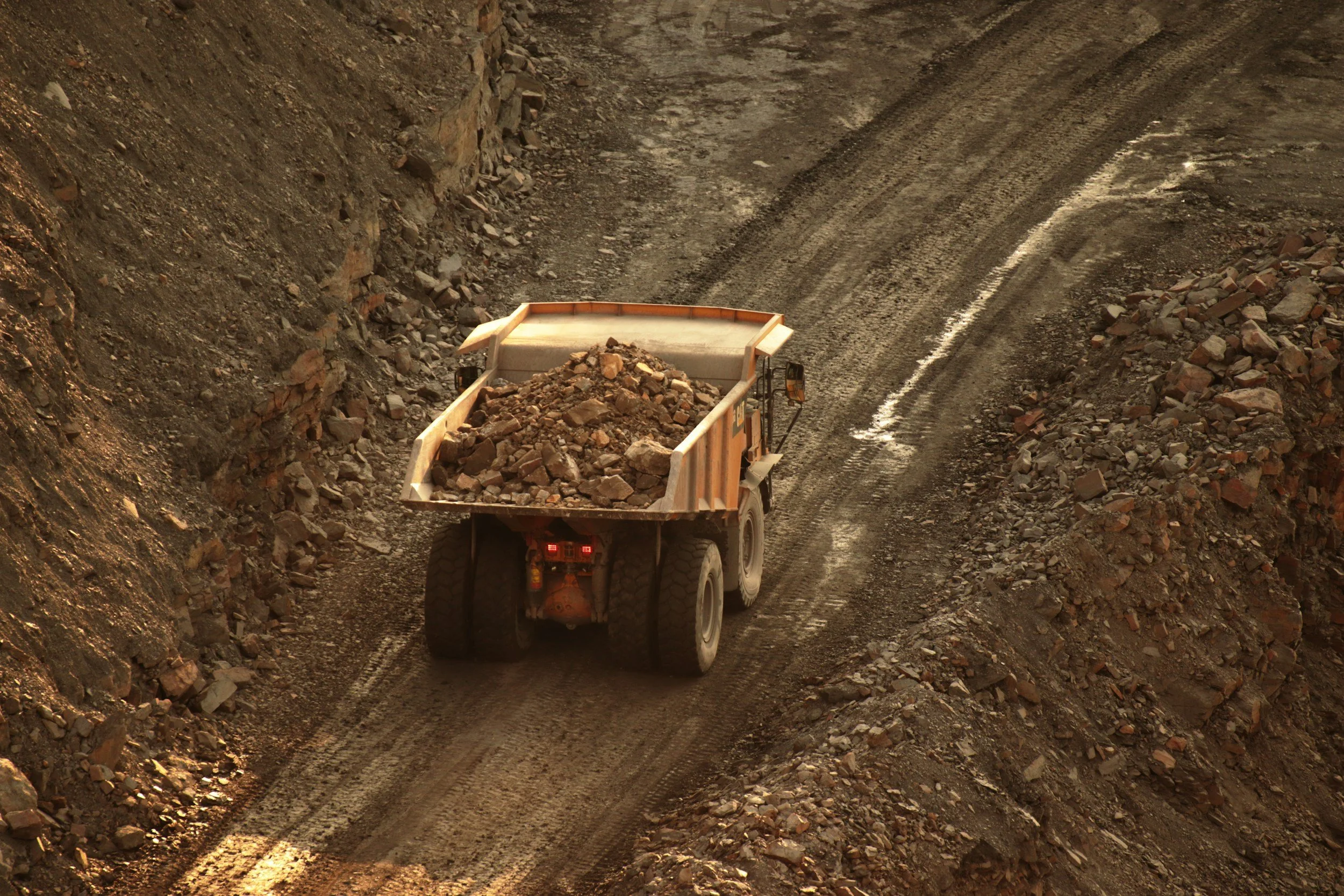
Pit & Haul Road Audits: Highwall slope stability monitoring, displacement tracking, and haul road grade compliance profiling
Commercial Building Envelope & Roofing Inspections
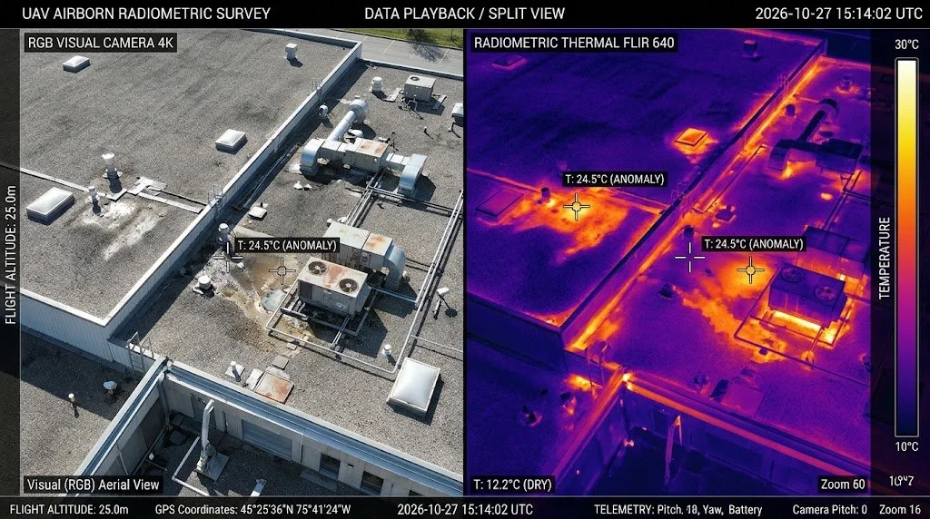
Thermal Roof Moisture Scans: Aerial radiometric infrared thermography to map trapped subsurface moisture, insulation wet spots, and building envelope heat leaks without puncturing the roof membrane.
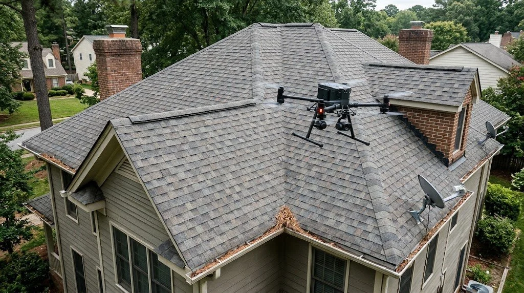
Structural Roof Integrity: Detailed visual surveys of rooftop HVAC equipment, flashing, seams, and drainage systems.
Renewable Energy Audits (Wind & Solar)
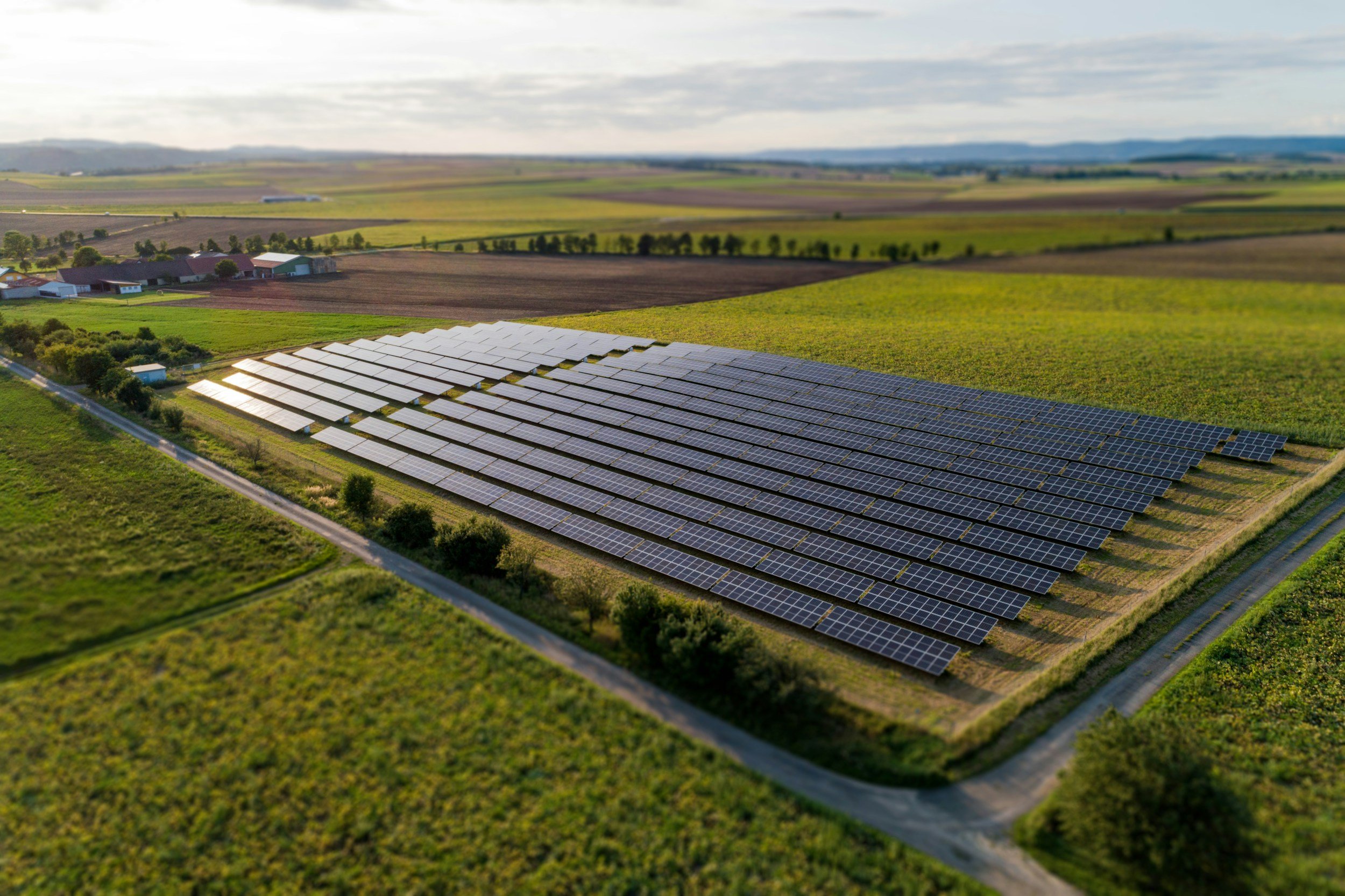
Utility-Scale Solar Farm Surveys: High-speed radiometric thermal audits that meet IEC standards to locate defective PV cells, bypassed diodes, string failures, and hot-spots.
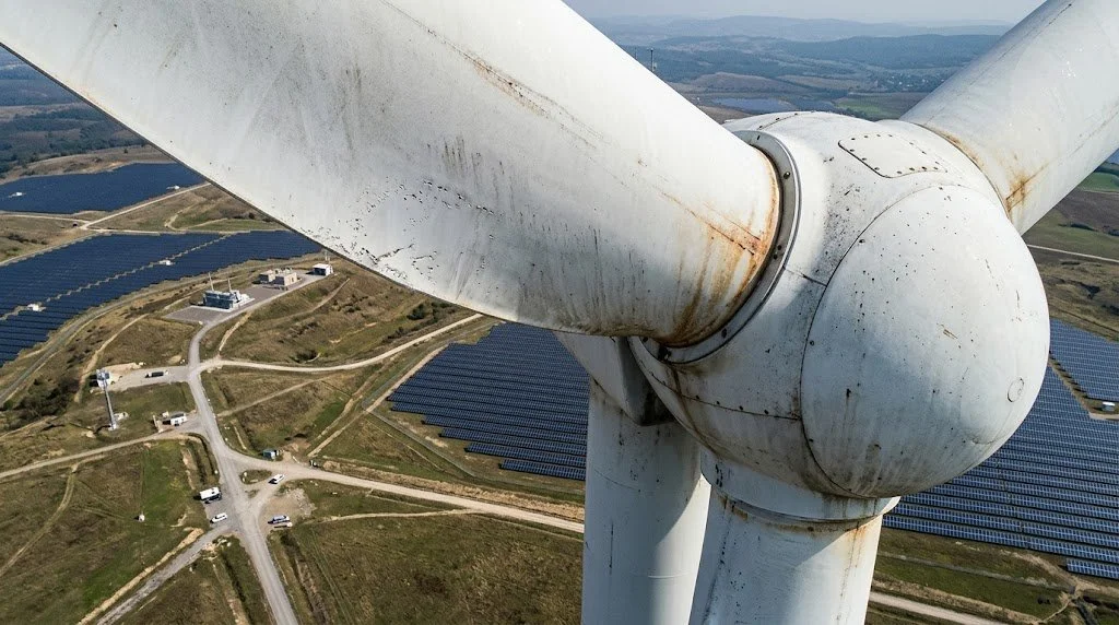
Wind Turbine Inspections: Close-proximity optical inspections to detect leading-edge erosion, delamination, lightning strikes, and mechanical wear on blades and nacelles.
Civil Infrastructure & Structural Asset Management

Telecommunications & Utilities: High-resolution optical and thermal inspections of cellular towers, flare stacks, power transmission lines, and substations without taking assets offline.
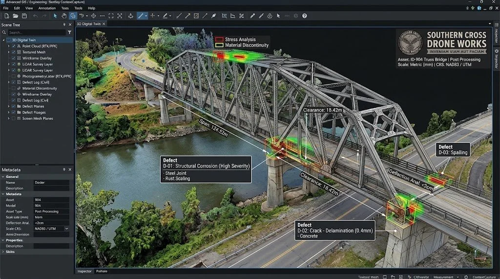
3D Digital Twins: Millimeter-accurate 3D point clouds and CAD-ready models (.LAS, .OBJ, .DXF) for engineering analysis and structural lifecycle records.
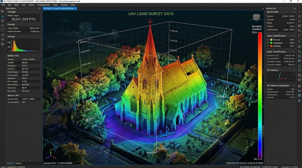
Bridges, Towers & Dams: Multi-angle photogrammetry and aerial LiDAR surveys to map concrete spalling, sub-millimeter cracking, rust scaling, and structural movement.
Precision Agriculture & Crop Health
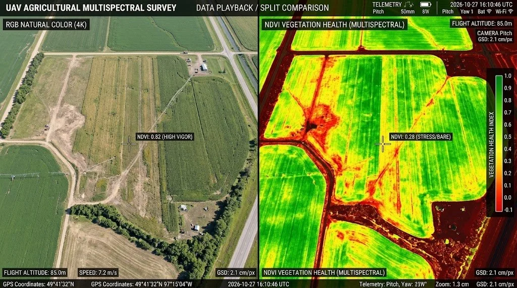
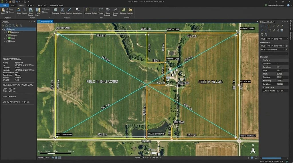
Acreage & Boundary Overviews: High-resolution mapping for farm management, field boundaries, crop insurance claims, and yield optimization.
Multispectral (NDVI) Mapping: Specialized sensor audits that measure plant vigor, spot drainage or irrigation issues, and detect nutrient stress or pest infestations before visible to the naked eye.
Commercial & Rural Real Estate Media
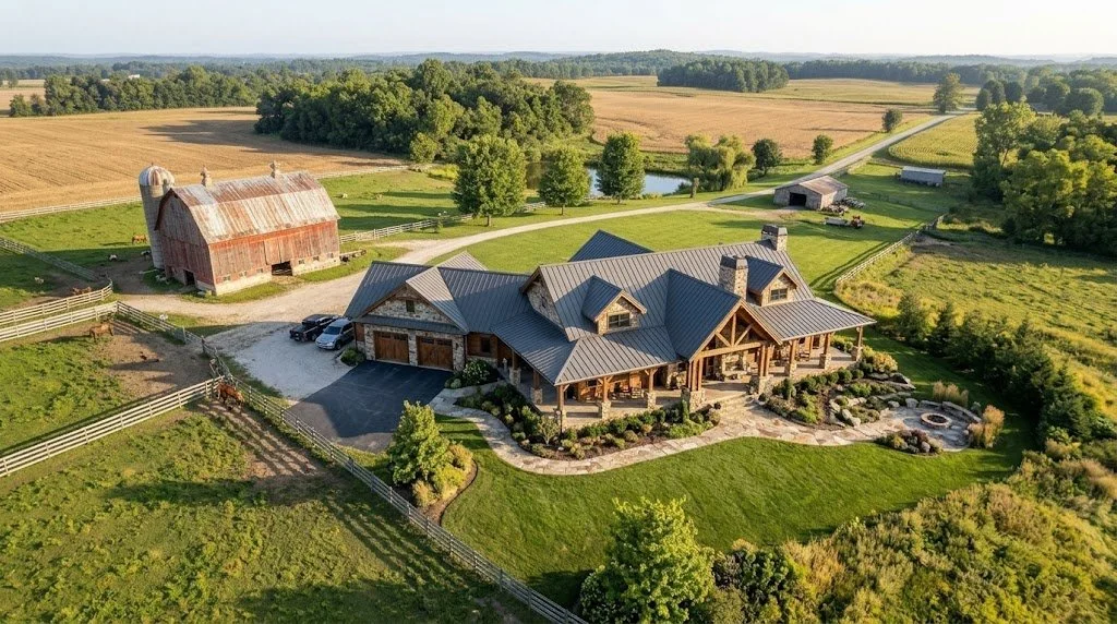
Architectural & Acreage Photography: Elevated, cinematic aerial photography and video for luxury ranches, rural homesteads, commercial real estate listings, and land developments.