Reimagining What’s Possible
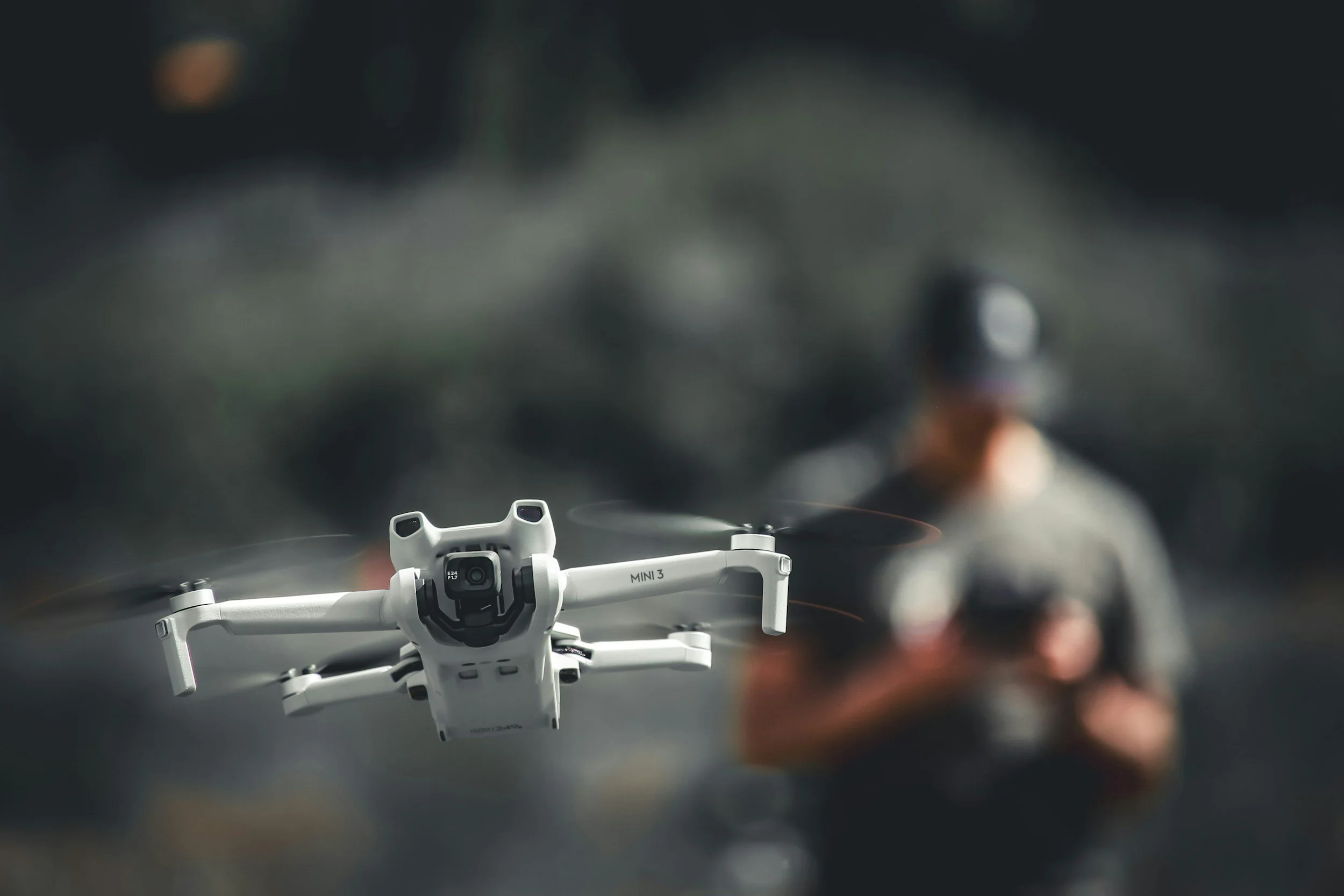
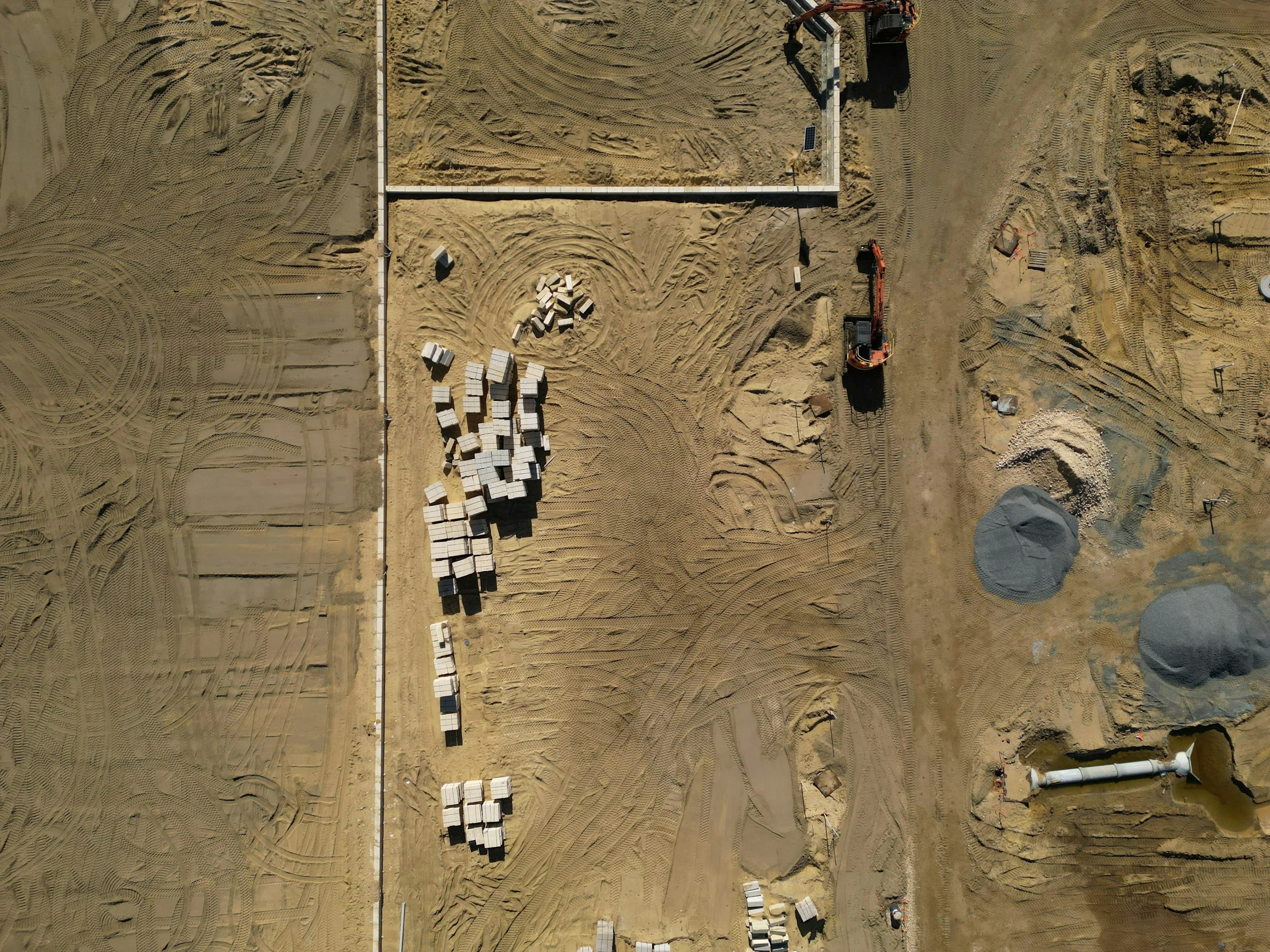
Southern Cross Drone Works provides professional drone inspection and aerial mapping services built for industrial, commercial, and agricultural job sites. We deploy advanced drone technology to capture clear, accurate field data without the cost delay, or risk of manual inspections.
Visionary Services
What We Do
Keep Crews Safe: We inspect hard-to-reach or dangerous assets—from cell towers and bridges to tall roofs and wind turbines—keeping your crew safely on the ground and eliminating the need for scaffolding or rope access.
Cut Downtime: Instead of shutting down operations for days, we complete detailed aerial surveys in hours so your project stays on schedule.
Deliver Useful Data: We don't just take photos. We provide high-resolution visual imagery, radiometric thermal scans for moisture or heat loss, multispectral crop health maps, and accurate 3D models ready for your CAD, BIM, or GIS software.
WhY Work with US
Fully Certified & Insured: Operating under Transport Canada Advanced RPAS certification with strict pre-flight safety and risk assessments on every job.
Industrial-Grade Hardware: High-precision RTK GPS, optical zoom, and specialized thermal/multispectral sensors to give you the exact details you need.
Straightforward Problem Solving: When a site is tough to access or conditions are challenging, we figure out a practical way to get the job done right.
Next-Generation Thinking